The Mt. St. Helens climb
The climb up Mt. St. Helens is roughly 5 miles. The first two miles are on a
"normal" trail below treeline, from 3800ft to 4800ft. Above this, there is
clambering over lava rocks and higher up, pumice, for 3 miles and about 3500ft. This
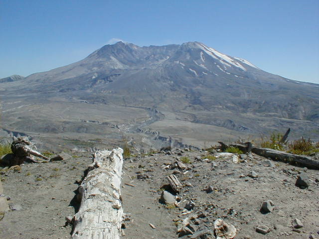
view is the one most visitors get, from the Johnston Ridge Visitor's center, on
the north-east side of the mountain,
which has some nice interpretive exhibits and a pretty good movie presentation.
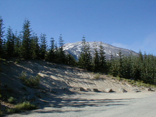
To climb Mt. St. Helens, you start from the south side, from the parking lot at
Climbers Bivouac. Our hike was done in August. Weather was superb, with temperatures
probably in the upper 70s and clear skies (though cloudy in the valleys, below 2000 ft).
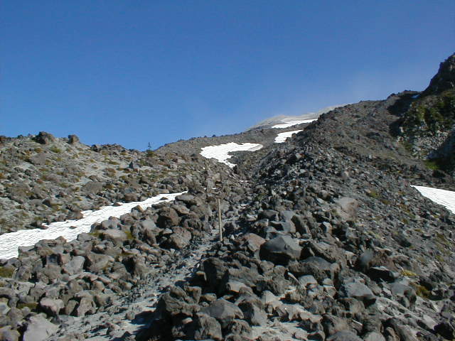
In this view, you can see the route -- it goes up along the space between
the snowfields seen in the clear space between the trees, roughly in the center
of the photo -- the trail goes up diagonally from behind the small triangular peak.
After the first section of "normal" hiking, you start to scramble up lava rocks.
About 2 miles of the trail were on this. While there's no actual trail, and
many variations of ways up, the route up Monitor Ridge is marked by the wooden
poles you can see here.
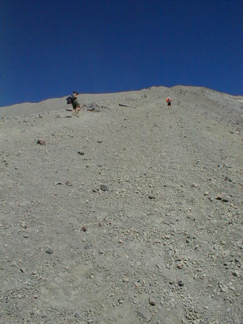
Further up, for the last 1000 vertical ft and 1 mile distance, you have to walk up a pumice slope. It's
difficult to walk up because it's unconsolidated pumice sand and gravel, but fun to walk down!
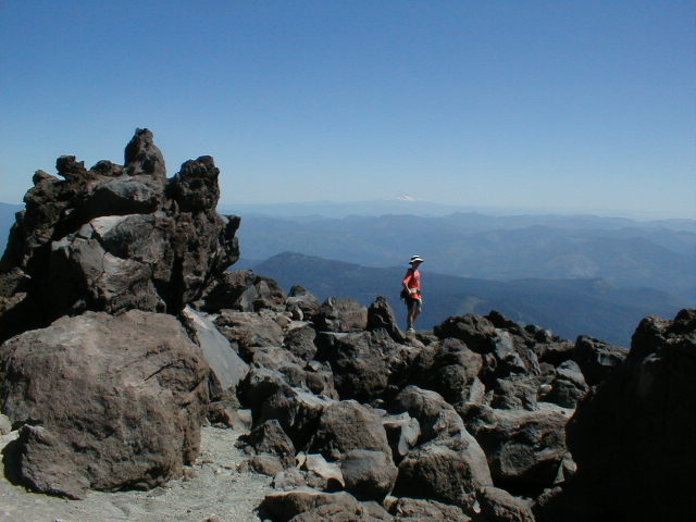
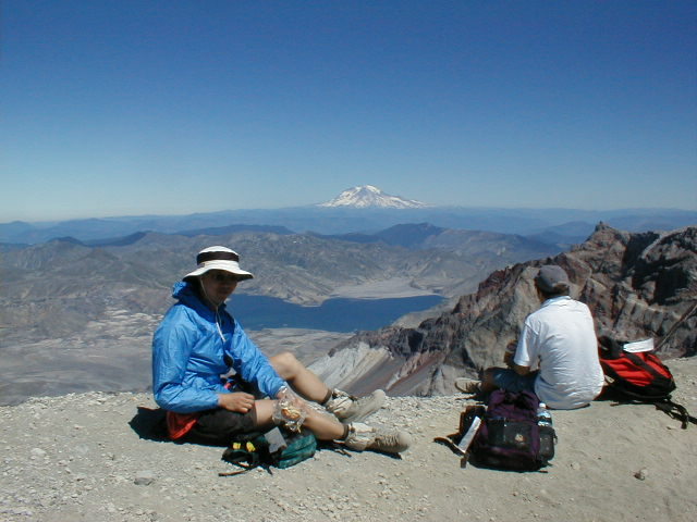
And here's the view from the top, with Mt.Ranier in the background, Spirit Lake
at the foot, with a large number of logs still floating in the water, seen on the
right finger of the lake -- the lake was pushed 800 ft up the far slope by the
landslide that precipitated the explosive eruption.
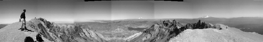
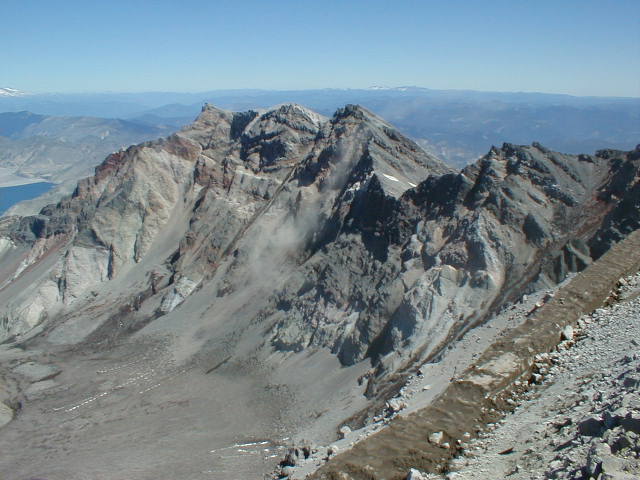
This is a more detailed view of the crater. The lava dome, just out of sight on the
left side of the picture, that is being built is apparantly
the last thing that happens before a volcano becomes dormant again. Surrounding the
dome is a permanent ice/snow field. The crater floor is 2000 ft below the rim.
The dust cloud you can see on the slope in the center of the photo is caused by
one of the numerous rock slides that occur. We could hear them but only see the
dust raised. There are still quite a few small earthquakes too, too small to feel,
but which are visible on the seismograph at the Johnston Ridge Visitors Center
and at this site.
And this is me resting on the way down. You can see Mt. Hood faintly on the horizon. The hike starts at 3800 ft and goes up
to 8365 ft. It took us 4.5 hrs to get to the top, 2.5 hrs to get down.